Sailing and navigation
Approaches to Thyboron Port
Safe sailing in all weather conditions
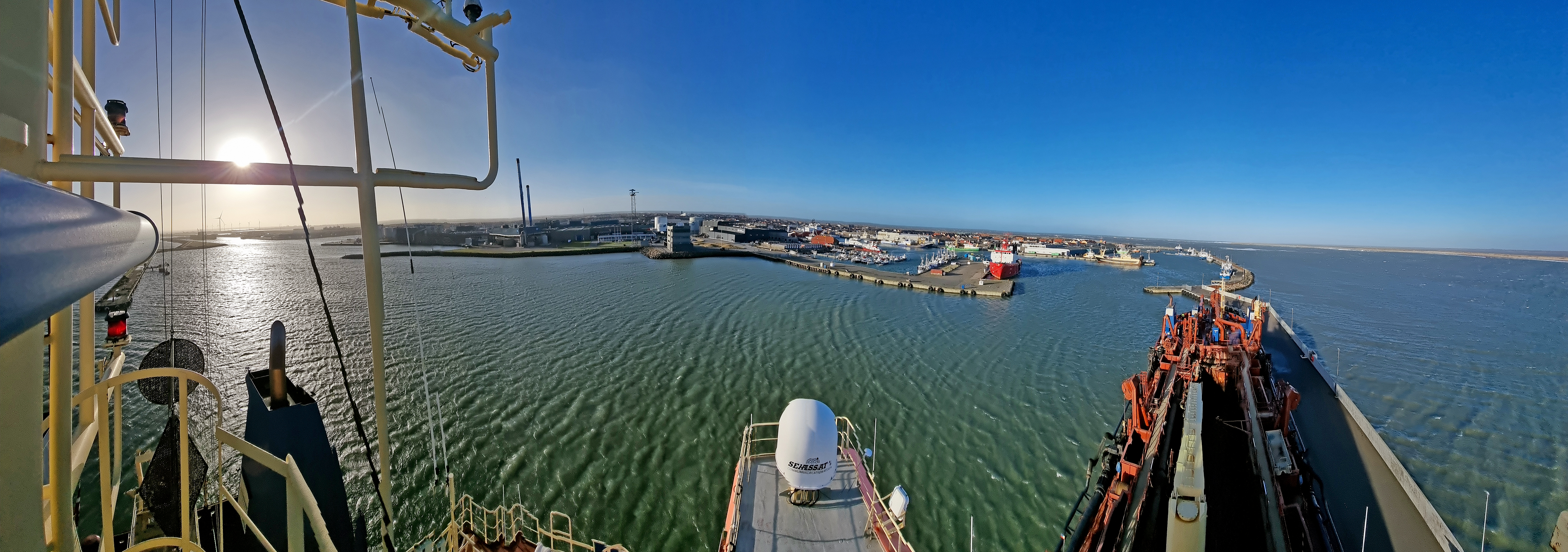
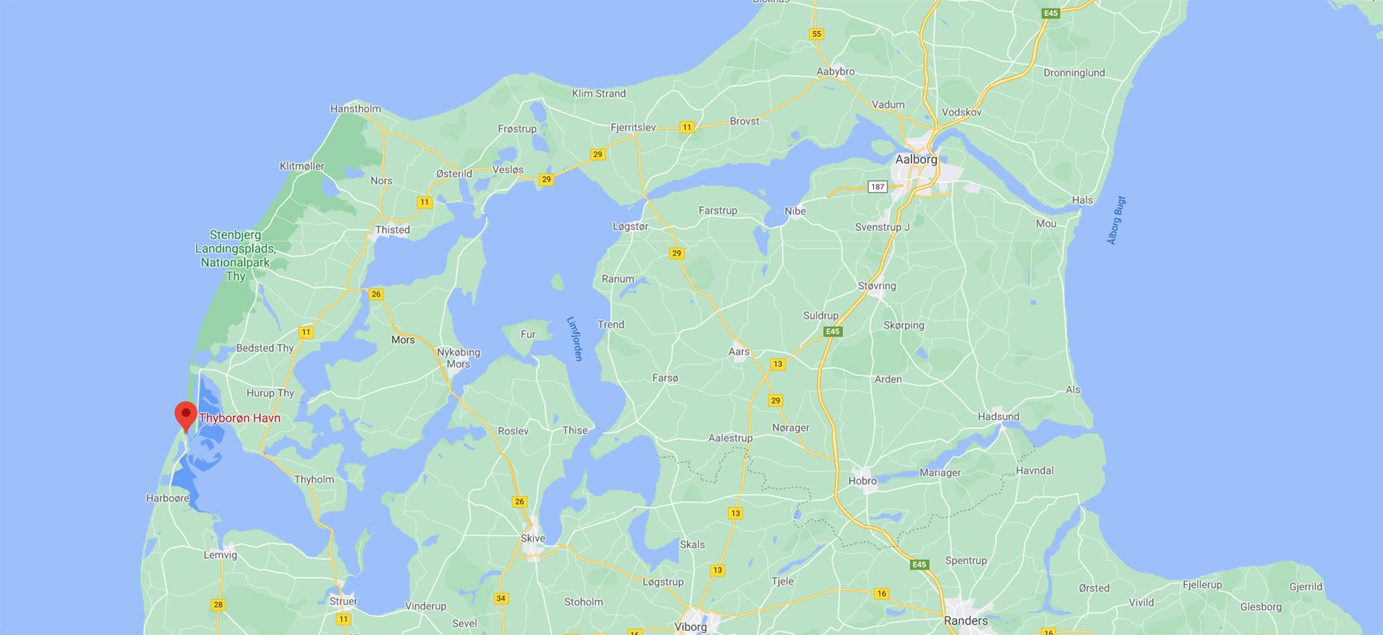
The Port of Thyboron has a unique, well-protected location inside the Liim Fiord on the Danish North Sea coast. The harbour entrance faces east, which means it can be entered in any weather conditions. Even in harsh weather, the ships ‘land’ softly in the wide opening to the Liim Fiord, and find calmer water through the harbour heads. These unique sailing conditions on the Danish North Sea coast help ensure safe and stable operation for vessels and port activities and a smooth workflow.

Navigation facts
- The port has 6 km of quays alongside the Liim Fiord
- The entrance to Thyboron Canal is 1000 metres wide. The entrance to the outer harbour is 76 metres wide
- Deep-water channel from the North Sea to the project quay Limfjordskaj II has been dredged to 11 metres
- The entrance to the outer harbour has been dredged to 10 m water depth
- The harbour entrance faces east
- The water depth at the quays is up to 11 m. The latest quays can support 10-12 metres of water depth
- Up to 200 metre turning areas - and 400 metre in a natural area in front of the entrance to the outer harbour
- The water density in the port is 1.025 g/ml
- The tide is just half a metre and turns every six hours
- The current in the Liim Fiord is typically 1-2 knots in normal weather conditions
- The sailing speed limit inside the port is 3 knots
Facts about approaching the Port of Thyboron
The entrance to Thyboron Canal from the North Sea is 1000 metres wide, no bridges and no locks.
A deep-water channel in the approach to the port has been dredged to a water depth of 11 metres and a width of 90 metres.
The entrance to Thyboron Canal from the North Sea is 360 metres wide in 9.5 m water depth.
The entrance between the heads at the Port of Thyboron is 76 metres wide.

Nautical charts
The nautical charts are updated with the actual water depths in the port approach from the October issue 2023.
The water depth at the quay Limfjordskaj III are updated in the nautical charts from the November issue 2024.
The nautical charts updated with waters of the Port of Thyboron
Current weather information

-0.03 m
Water level in port DVR90

3.4 m/s
Current wind speed

3.9 m/s
Wind gust

N 354°
Current wind direction

0.05 m
Water level at sea DVR90

2.4 m/s
Average wind speed

1012 hPa
Barometer

N 350°
Average wind direction
Last updated 4/19/2025 at 6:49 AM
Navigation through the Liim Fiord
For some vessels, the Liim Fiord can serve as a shortcut in Denmark. There is a guaranteed water depth of 4 metres, so CTVs, barges and cargo vessels with low draught can sail from Aalborg to the Port of Thyboron through the Liim Fiord.
It is 75 nautical miles from Thyboron to Aalborg, and 170 nautical miles if you sail around Skagen.
Pilotage is required for passage through the Liim Fiord.
Facts about navigation in the Liim Fiord:
- Water depth 4 metres
- Distance from Aalborg to Thyboron is 75 nautical miles
- Maximum width of a barge in the Liim Fiord with special assessment from a pilot is 28 metres
- Maximum width of a barge without special assessment from a pilot is 15 metres
- Fairway width east of the Limfjordskaj II quay 180 m at the narrowest point.


